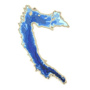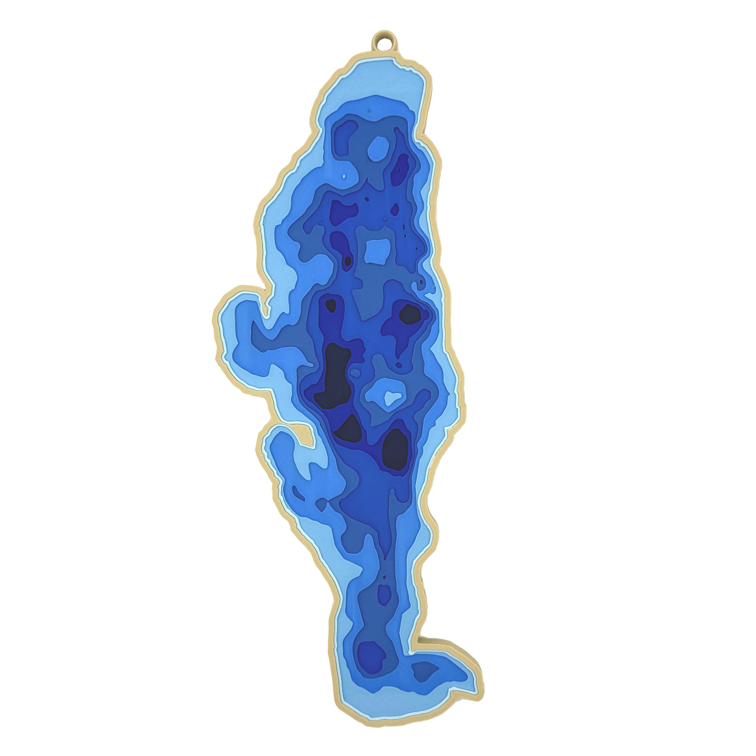
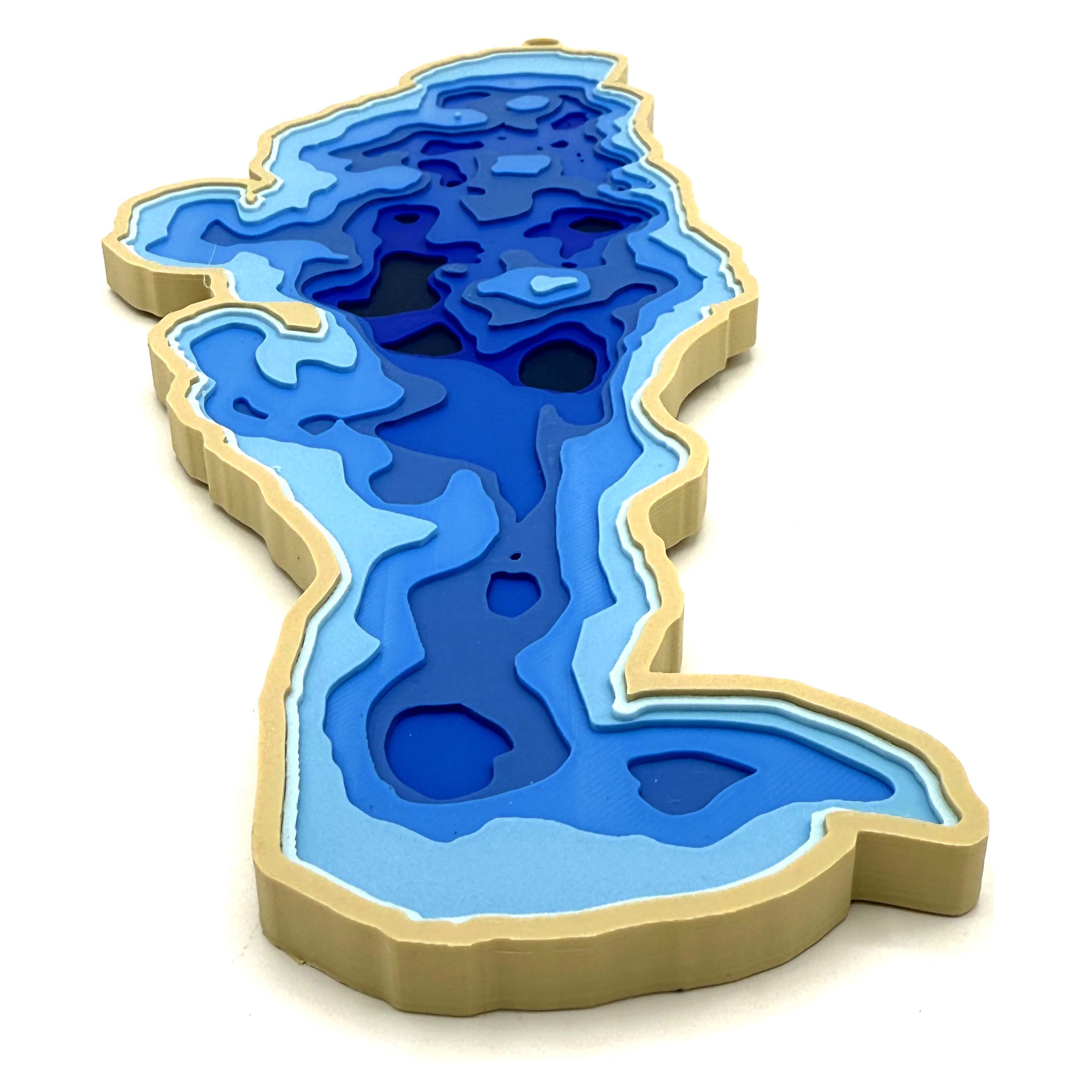
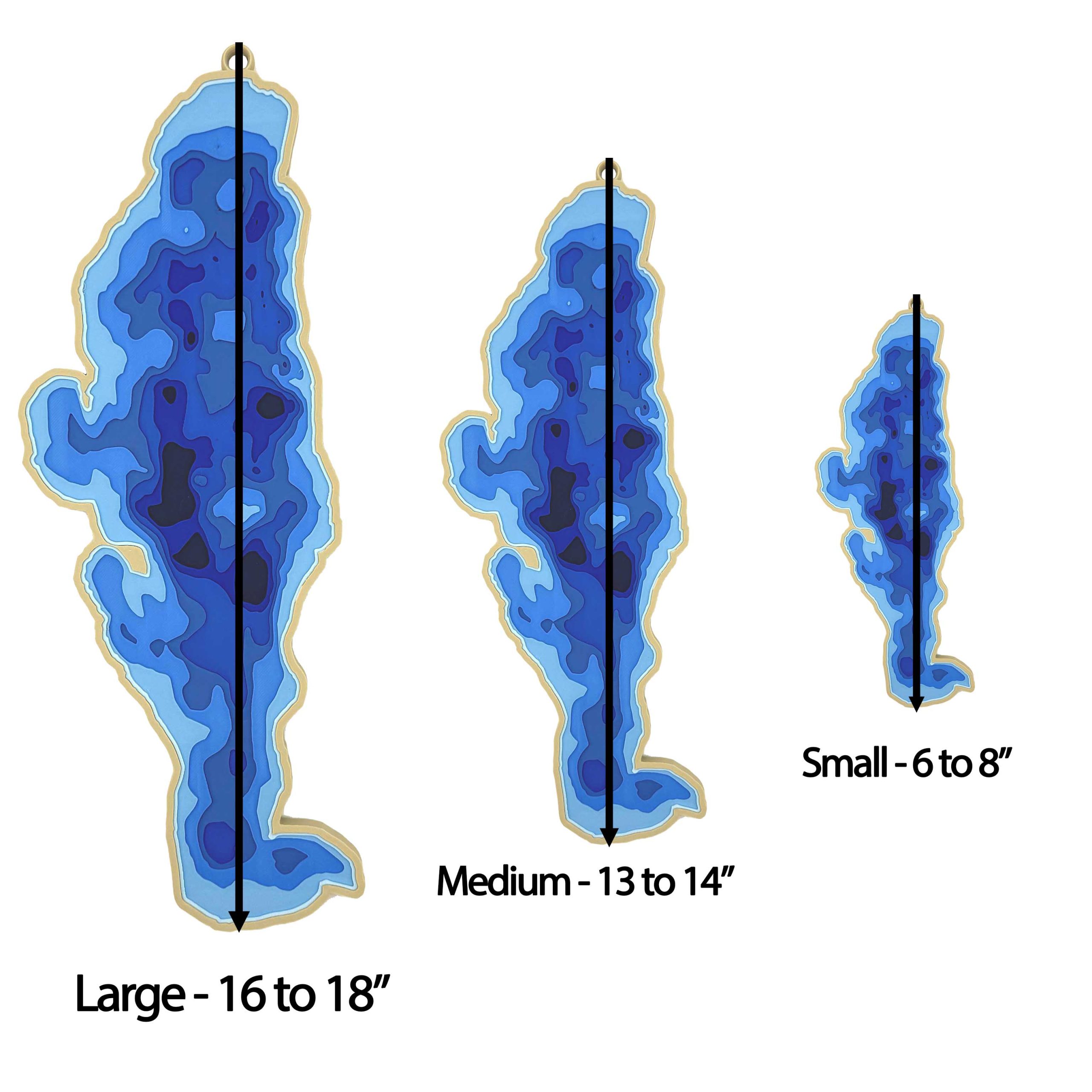
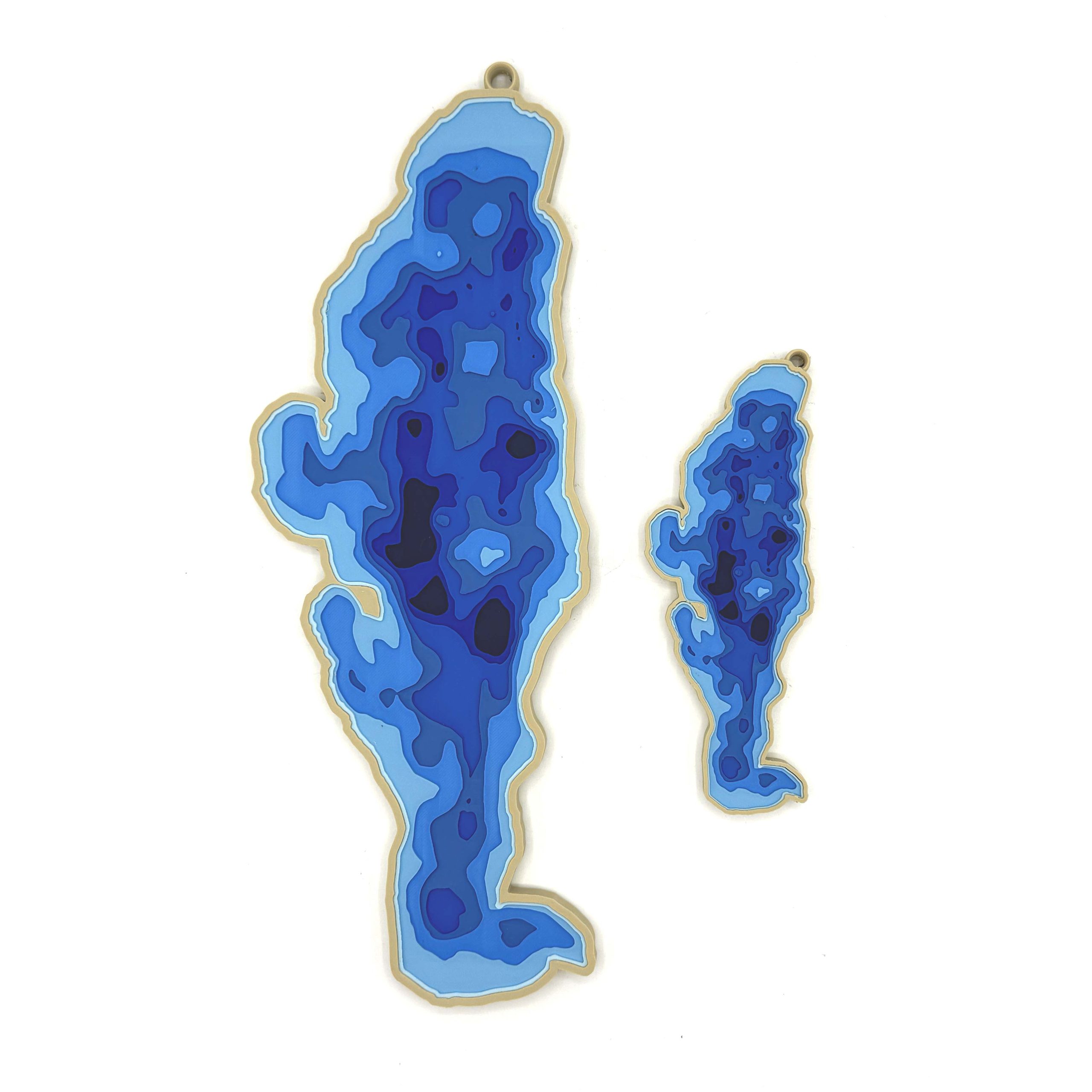
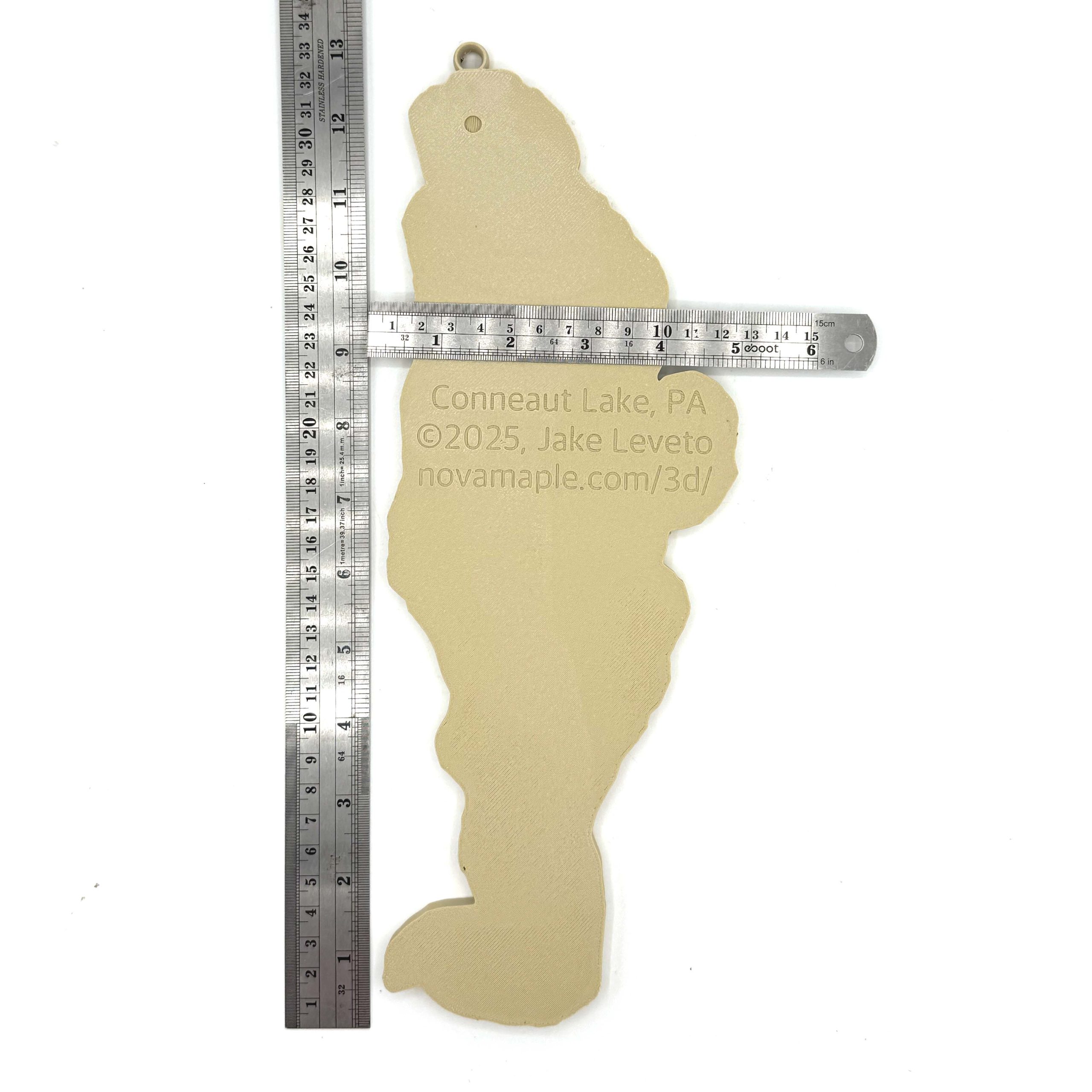
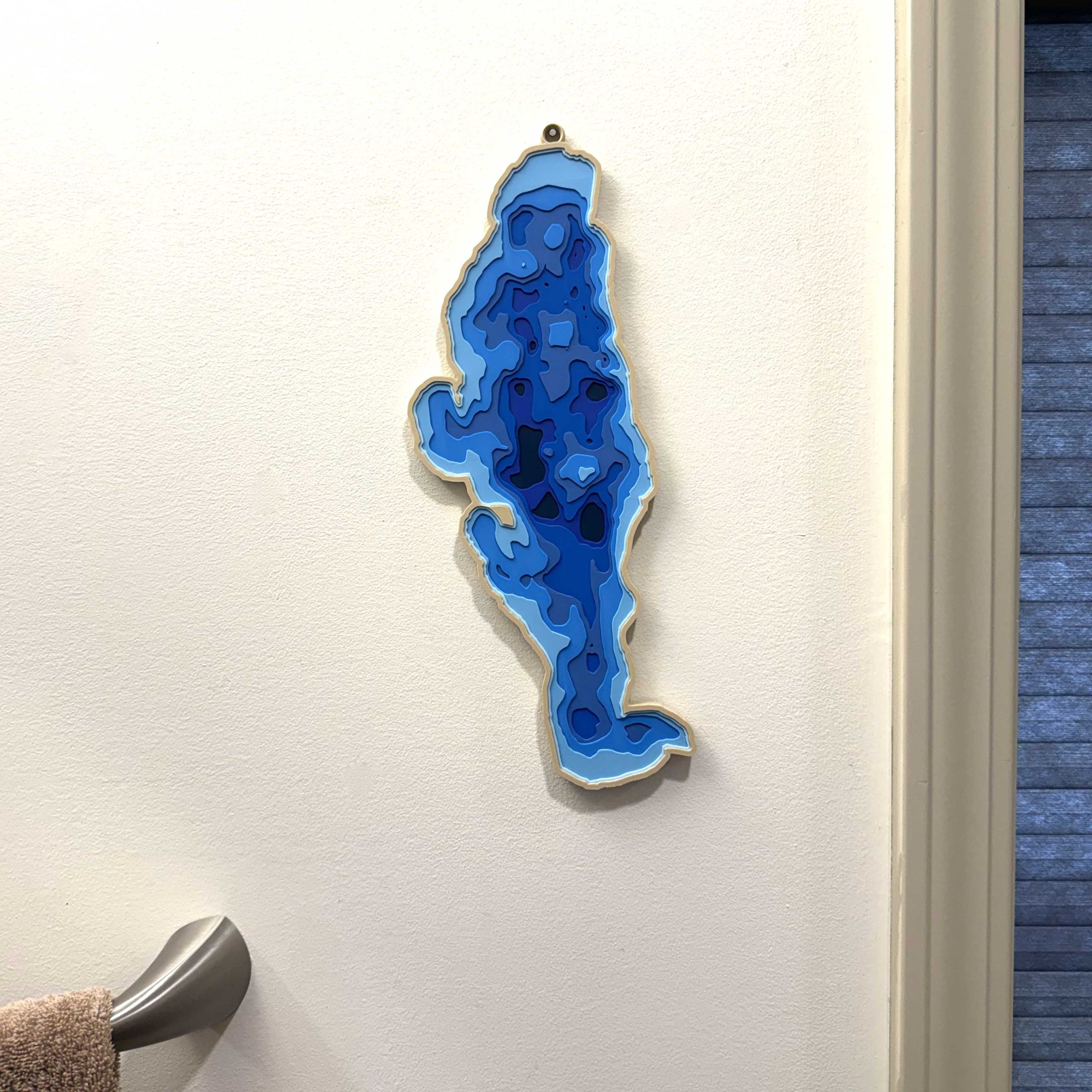
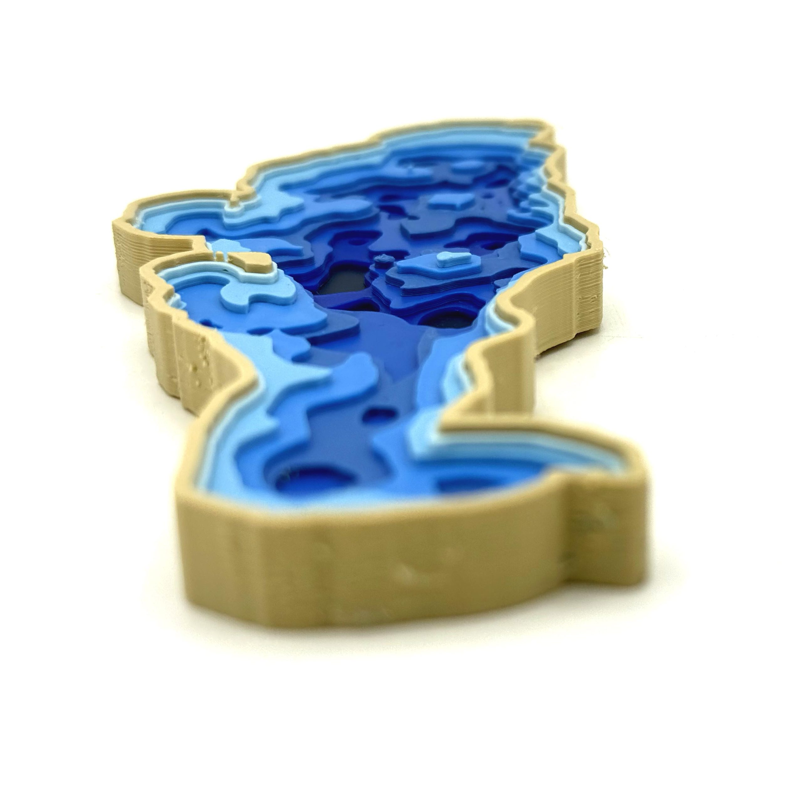
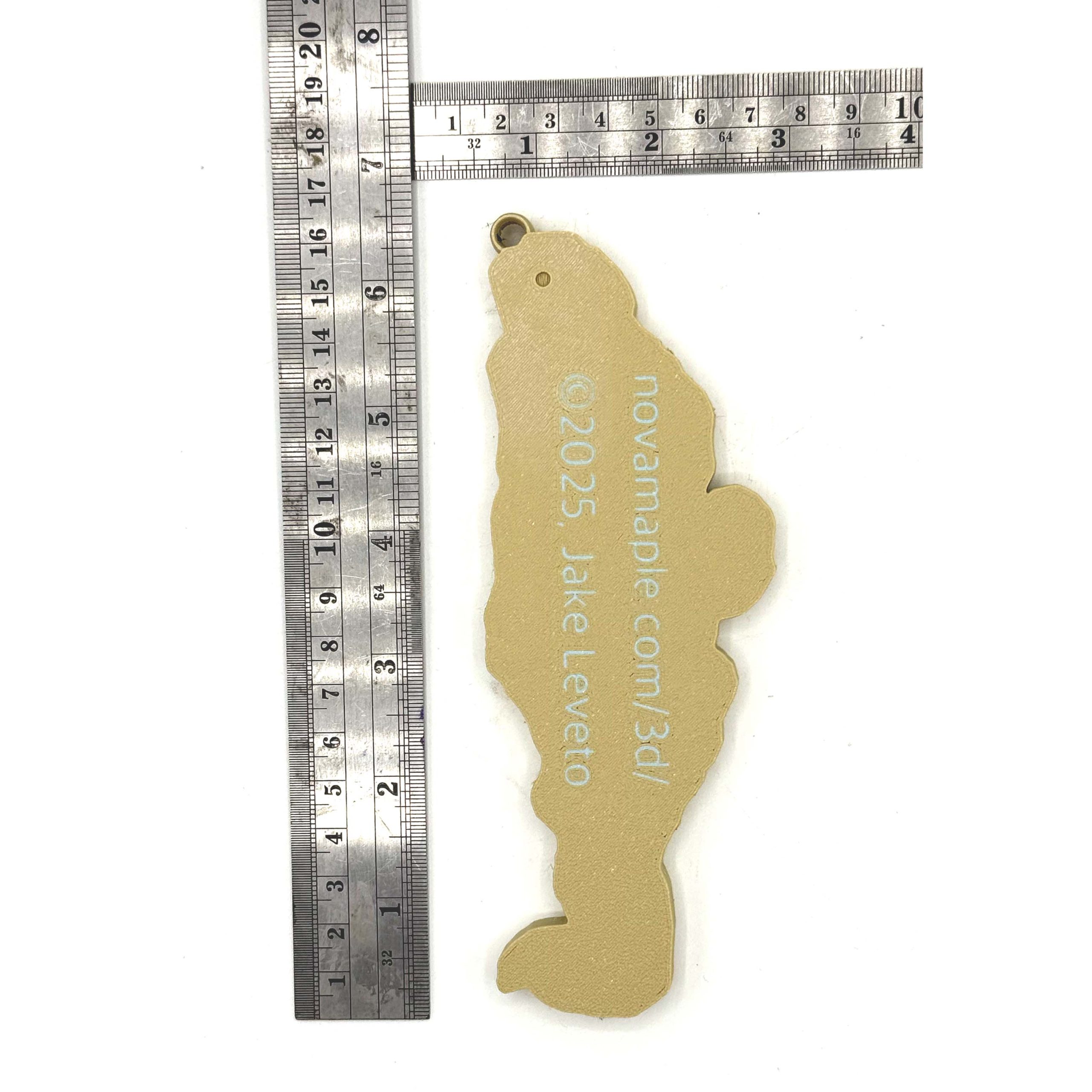
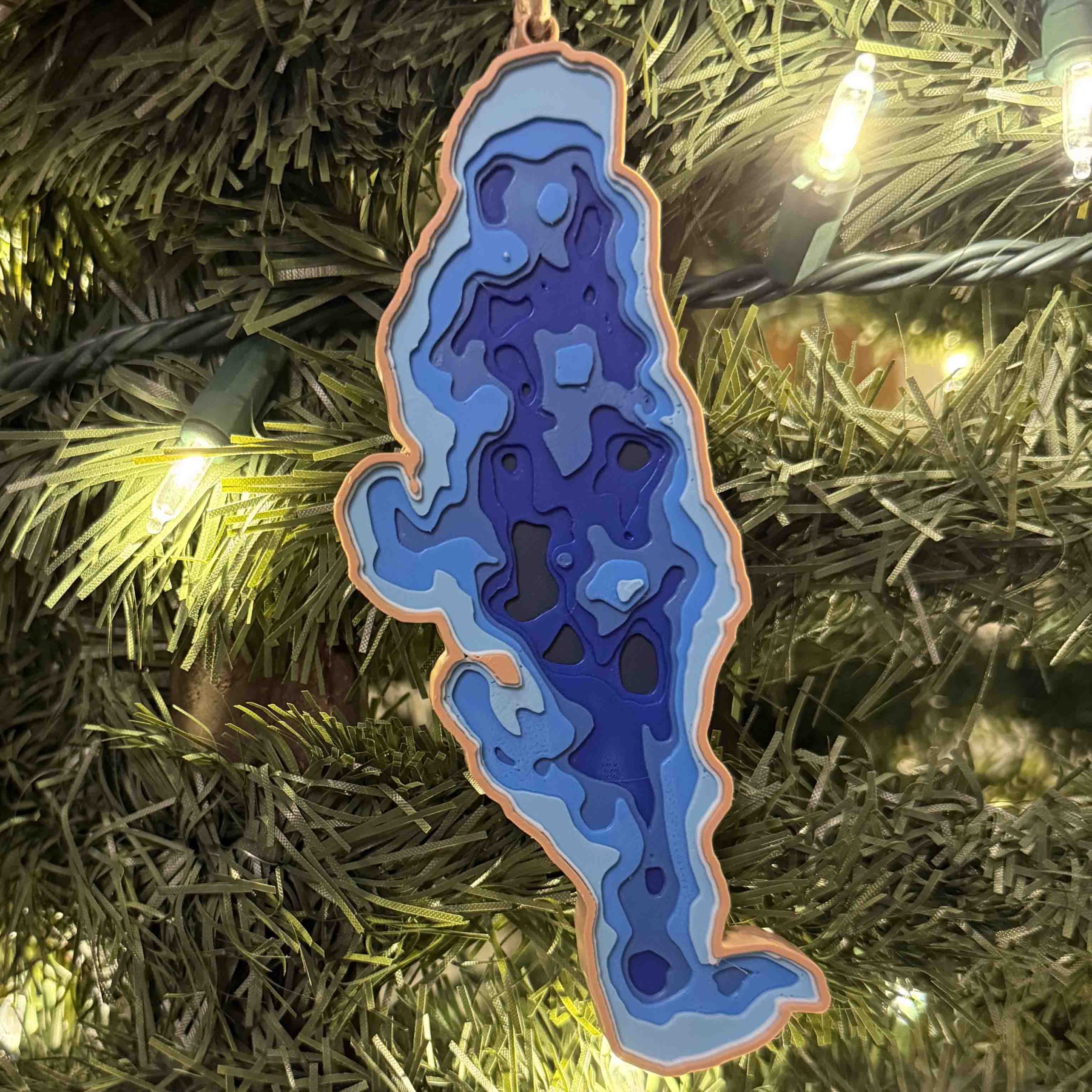
Description
This image showcases a beautifully crafted 3D-printed depth map of Conneaut Lake, Pennsylvania’s largest natural lake. The layered design uses a gradient of blues to represent various depths, with darker hues indicating deeper regions and lighter blues depicting shallower waters. The precise contours mimic a topographic bathymetric chart, offering a striking visual representation of the lake’s underwater terrain. Framed with a subtle tan border and a small loop at the top for hanging, this piece functions both as a work of art and a tribute to the geographic beauty of Conneaut Lake.