
Old Aerial Maps
05/27/2020 | Posted by jake |
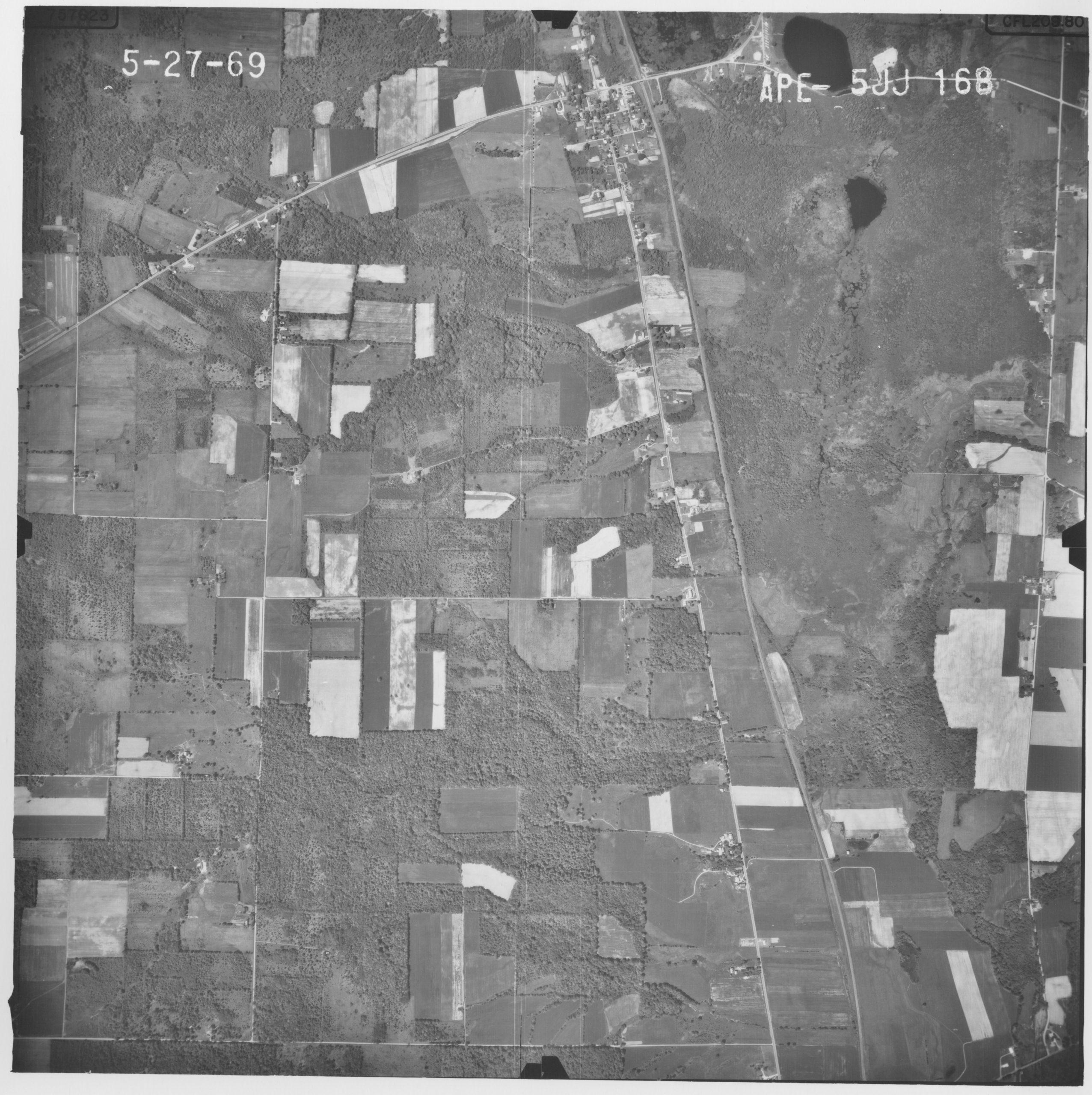
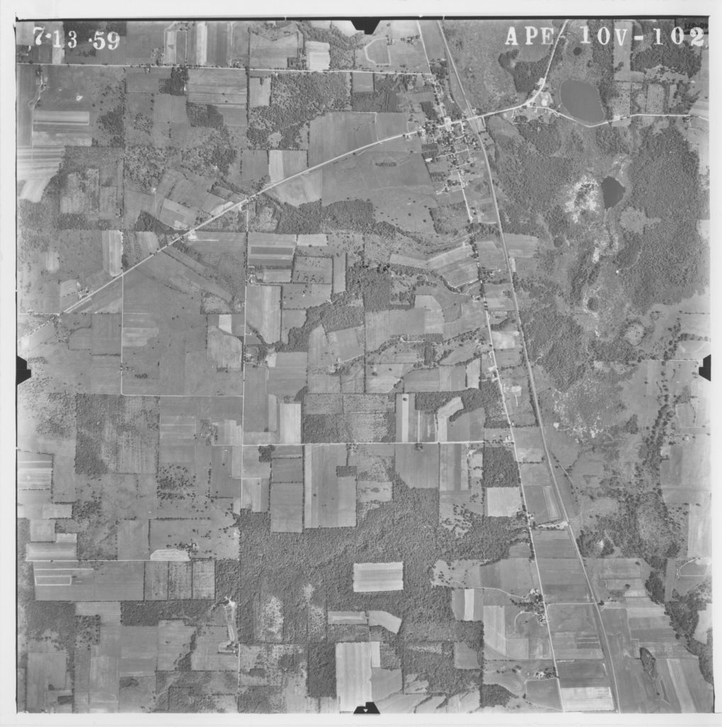
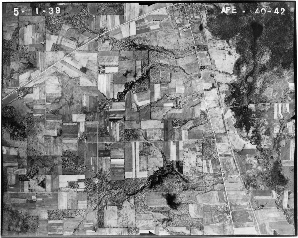
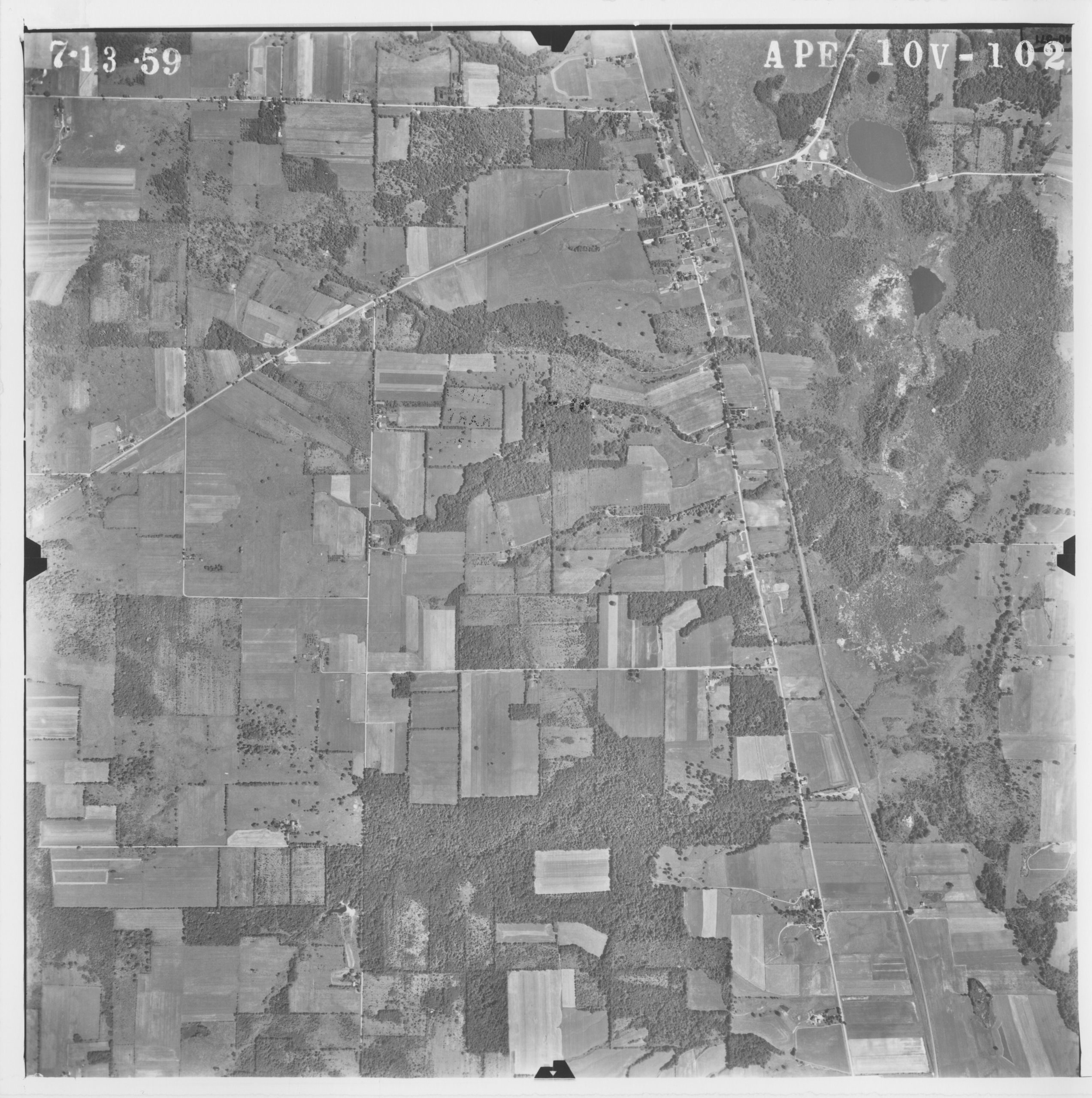
Ever wonder what a piece of property use to look like? Penn Pilot has historic aerial images for free! Our farm use to be a very different place, we’ve heard it was a pig farm at one point, the old fields support that!
http://www.pennpilot.psu.edu
Posted in News/Blog